BORDERLANDS
Daniel Lombardi spent six weeks traveling the U.S. border with Mexico from West Texas to California, photographing the landscapes that history has sliced a political line through. He wanted to see if the landscape itself would reflect the debate that surrounds it. Would the political divisions be visible in the geography?
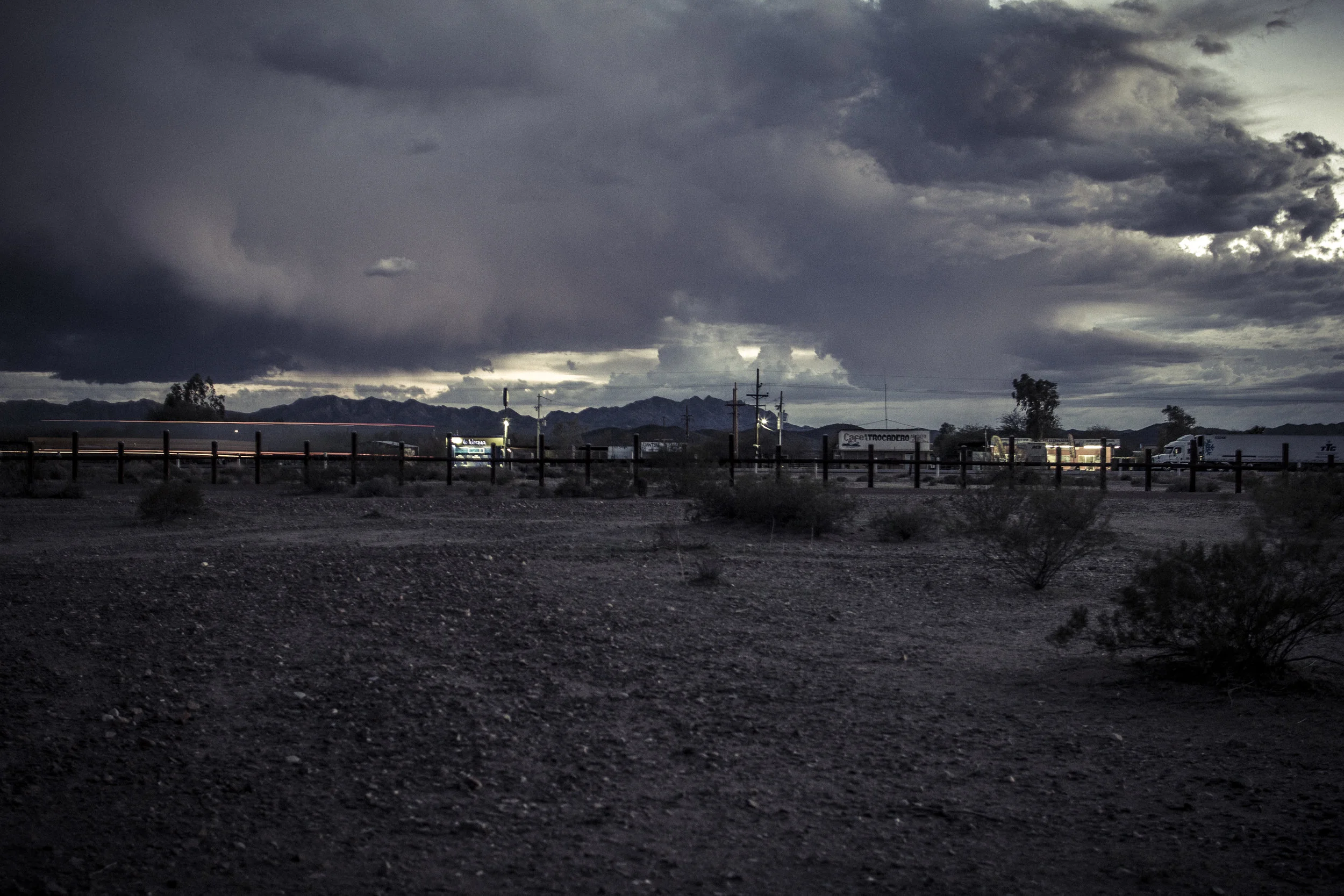
Culturally he found few dividing lines instead he found regional mixing zones where people and societies overlapped and mixed together. Geographically he found no distinct lines either, the rivers and canyons that mark the border served not to simplify but instead seemed to make political matters even more complex. Even the fencing seemed to bring chaos, starting and stopping illogically, and dividing landscapes that refuse to be divided, like rivers and sand dunes.
His images attempt to strip away partisan debate and show what the border really looks like. Without cable news blaring in the background what do we make of these borderlands?